Mining
Enhance mining operations with drone-powered surveys that deliver 99% accurate measurements and accelerate data acquisition by 30 times, ensuring efficiency and precision in every operation.
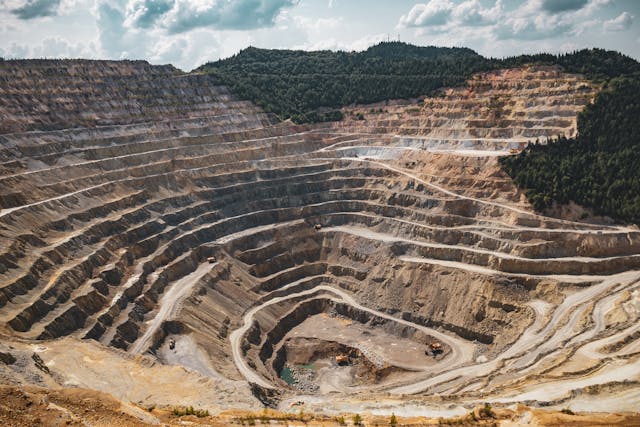
Drones in Mining - Transforming the Mining Sector in India
Ninetron maps delivers state-of-the-art aerial mapping and surveying solutions tailored for mining operations. Leveraging advanced drone technology, our mining drone services have significantly enhanced efficiency and productivity at large-scale mining sites, catering to both government and private enterprises. We provide project managers with real-time, high-precision monitoring for optimized stockpile management and operational oversight.
Using high-resolution RGB sensor-equipped drones, we capture detailed aerial data, which our GIS experts transform into geotagged 3D models, contour lines, point clouds, DEMs, DTMs, and DSMs. These models accurately replicate critical site features such as safety berm heights, road boundaries, and elevation changes, enhancing site management and worker safety.
Our drones collect thousands of data points and deliver up to 350 times more stockpile data compared to traditional GNSS surveys, ensuring highly precise measurements. With machine learning integration, our geotagged volumetric calculations achieve 99% accuracy, revolutionizing mining operations from stockpile tracking to haul road optimization.
The benefits of drone-powered mining surveys extend beyond efficiency—they enhance safety, reduce costs, and provide rapid data acquisition. Our drone solutions streamline mining inspections, exploration, and operational analysis with unmatched accuracy. By incorporating cutting-edge drone technology into mining, NinetronTech empowers the industry with smarter, data-driven decision-making, setting new standards for precision and productivity.
We can help with
Stockpile Management
Efficient stockpile management is crucial across industries like construction, mining, and aggregates. Traditional stockpile measurements are time-consuming, costly, and pose safety risks to workers. By utilizing advanced drone technology, we achieve 99% accuracy in stockpile volume estimation, streamlining operations while enhancing personnel safety.
Better Inventory Tracking & Financial Reporting
Our GIS experts transform drone survey data into highly detailed 3D models and point cloud maps. This data, enriched with thousands of accurate data points, allows for precise stockpile volume calculations. Mining companies leverage our systematic drone inspections for monthly tracking and year-end audits, ensuring improved inventory efficiency and comprehensive operational management.
Mine Monitoring & Operational Planning
We empower mining site managers with precise drone data and GIS maps, facilitating efficient site operations. Our data aids in the accurate design of haul roads, traffic flow optimization, and team collaboration, enabling rapid decision-making to enhance safety and productivity.
Haul Road Optimization
Routine inspections of haul roads are critical to maintaining efficiency and minimizing accident risks. Unlike traditional surveying, drone-based evaluations save time and costs while capturing comprehensive data beyond human capability. Our GIS team generates Digital Terrain Models (DTM), 3D models, 3D point clouds, and color slope maps, delivering valuable insights into road length, slope, and turning angles. This data helps optimize road design, significantly reducing fuel costs associated with material transportation.
Water & Sediment Flow Analysis
Unmonitored water and sediment flow can lead to operational disruptions, halting mining activities. Our drone mining surveys, combined with GIS mapping and machine learning, trace water flow and tailing pond movements, ensuring smooth operations. We provide Digital Elevation Maps (DEM) and high-resolution imagery, enabling managers to proactively mitigate risks and maintain operational stability.
Tailings Dams Monitoring
Tailings dams pose significant environmental and safety hazards. Our UAV inspections offer systematic monitoring, capturing high-resolution imagery to generate 3D Digital Elevation Models (DEM) for in-depth analysis. Regular drone-based monitoring helps prevent disasters like the Brumadinho incident in Brazil, ensuring mine planners maintain dam integrity and safety.
Mining Exploration
UAVs offer a safe, efficient, and sustainable approach to mineral exploration. Equipped with advanced RGB sensors, our drones capture high-resolution data, enabling the creation of orthophotos, DSM maps, and 3D models for structural assessment. This technology minimizes the need for extensive on-site exploration, reduces costs, and enhances personnel safety while improving site security.
Blast Planning & Assessment
Drone technology plays a critical role in mining operations, particularly in blast planning, charging, and safety assessments. Using 3D photogrammetry, our UAVs conduct high-precision inspections of blasting areas, generating GIS maps, 3D models, and photogrammetric data. This enables mine planners to analyze drill sites efficiently, optimize resource allocation, and enhance safety, ultimately reducing costs and on-site drilling requirements.
Ninetron maps solutions redefine mining operations, offering cost-effective, data-driven, and safety-enhancing strategies for stockpile management, haul road optimization, exploration, and blast planning.
Deliverables We Provide
3D point cloud
Drone data generates densified point clouds, where each point contains geospatial (X, Y, Z) and color information, ensuring highly accurate, distortion-free models for precise distance, area, and volume measurements.
Orthomosaic maps
Geometrically corrected aerial images eliminate distortions from lens, tilt, perspective, and topography, providing highly accurate 2D and 3D geographical data for precise project measurements.
3D textured mesh
Created from the point cloud, this model consists of triangles that accurately depict boundaries, surfaces, corners, and textures, making it ideal for visual inspections and public engagement.
Digital terrain model (DTM)
Derived from drone images, this model provides 2.5D data (X, Y, Z values of the highest elevation), ensuring high-speed processing and efficiency for terrain analysis.
Our Features
Faster Data Acquisition
Experienced pilots use high-end drones with advanced sensors to collect data significantly faster than traditional methods.
5x Faster Data Delivery
Machine learning and cutting-edge drone technology ensure precise stockpile volume measurements.
Leading in Industry
Our dedication and excellence have established us as a leading company in the drone industry.
Benefits of Ninetron Tech drones in mining
- Higher data accuracy – Drones capture significantly more data points than traditional methods, ensuring precise volume estimations.
- 30x faster surveys – Drone-based mining surveys are up to 30 times faster than conventional land-based techniques.
- Avoid costly mistakes – High-resolution drone inspections detect tiny defects, such as dead cells in thermal imaging, preventing system failures and financial losses.
- Enhanced operational efficiency – Real-time, high-resolution aerial data improves decision-making and optimizes resource management.
- Significant cost & time savings – Reduce the need for extensive manpower, equipment, and time-consuming ground surveys.