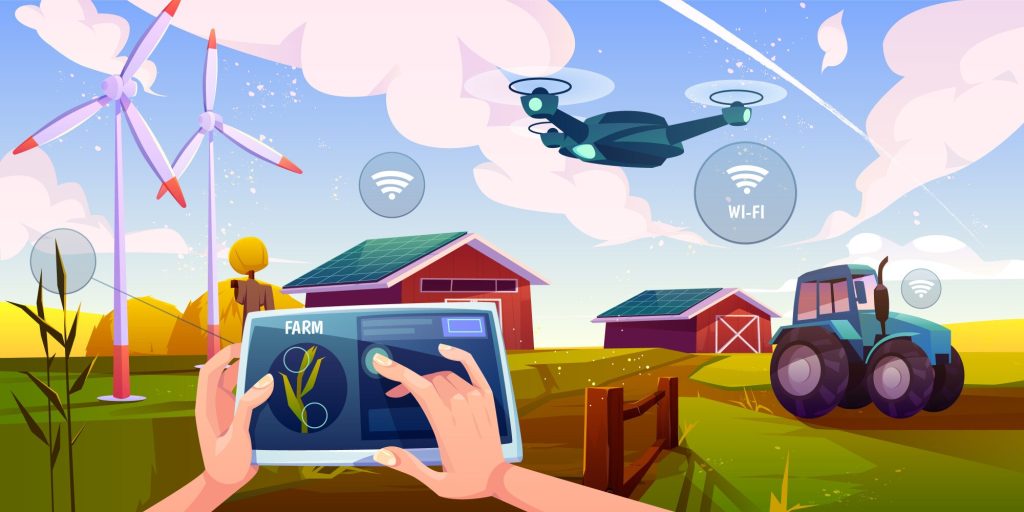
CROP HEALTH & STRESS ANALYSIS
Drones equipped with pesticide spraying systems provide a cost-effective, time-saving, and highly efficient alternative to manual spraying. These UAVs ensure precise chemical application, significantly reducing labor costs and minimizing farmers' exposure to harmful chemicals, thus promoting safer and more sustainable farming practices.
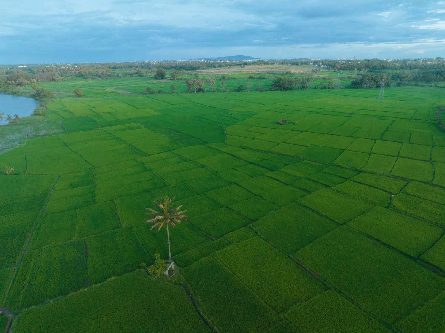
IRRIGATION MONITORING AND PLANNING
Our drones, equipped with thermal cameras and remote sensing capabilities, help identify irrigation issues such as overwatering or insufficient moisture. RGB imagery-based topographical mapping allows farmers to optimize drainage, follow natural land runoff, and prevent water-logging. With our services, farmers can easily adapt to different environmental conditions and improve water management strategies.
CROP DAMAGE ASSESSMENT
Our experienced drone pilots capture high-resolution data to assess and document crop damage caused by floods, fires, pests, and extreme weather conditions. Using remote sensing technology and photogrammetry, we generate accurate 2D and 3D orthomosaics, providing essential evidence for farmers or government authorities to process crop insurance claims and evaluate losses effectively.
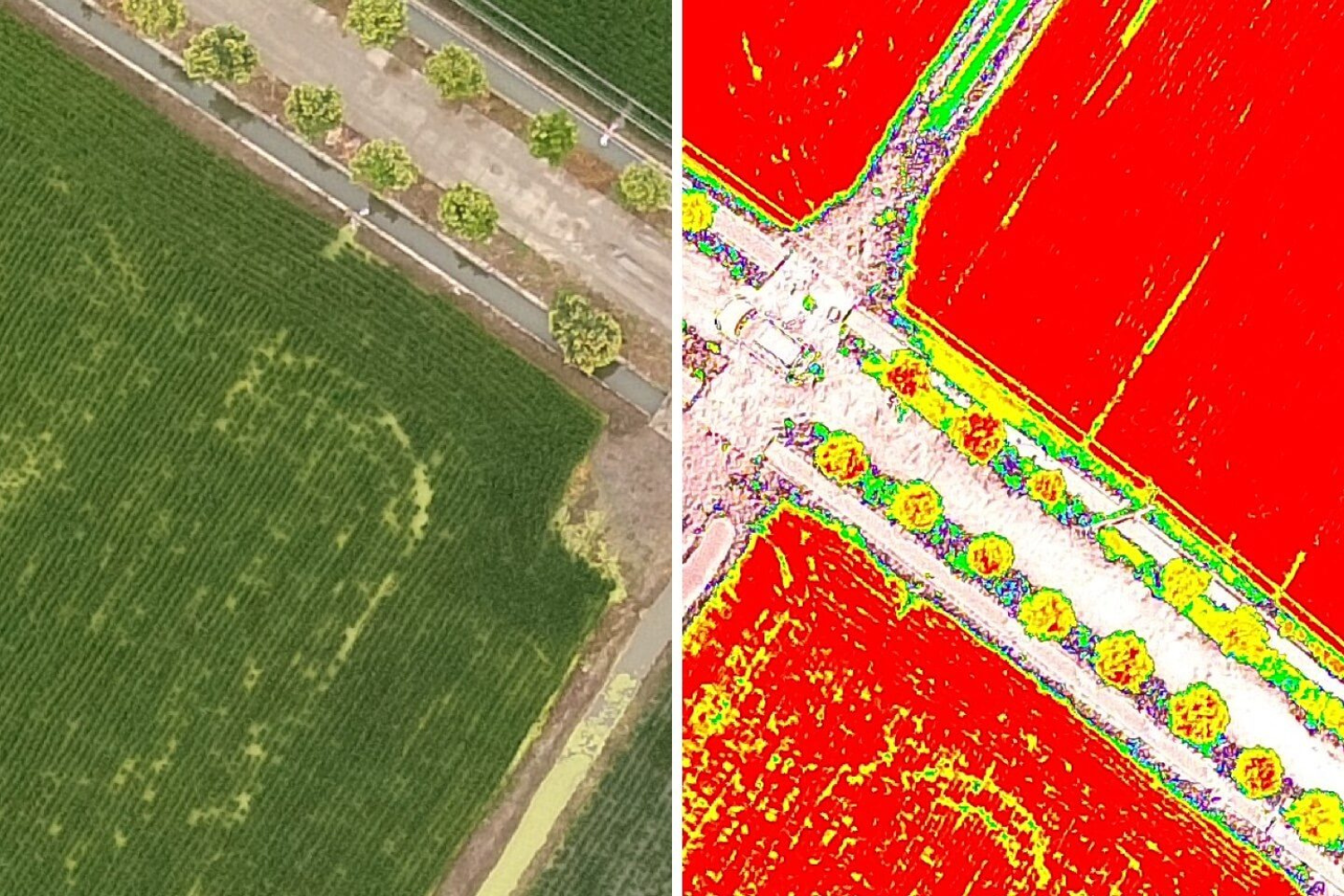
CROP COUNT & PLANT EMERGENCE ANALYSIS
Leveraging high-resolution drone data and machine learning algorithms, we deliver precise production insights to monitor crop emergence, optimize replanting decisions, and predict yields. Our UAV-based photogrammetry solutions achieve 97% accuracy, providing data in the form of 2D orthomosaics for detailed analysis.
FIELD SOIL ANALYSIS
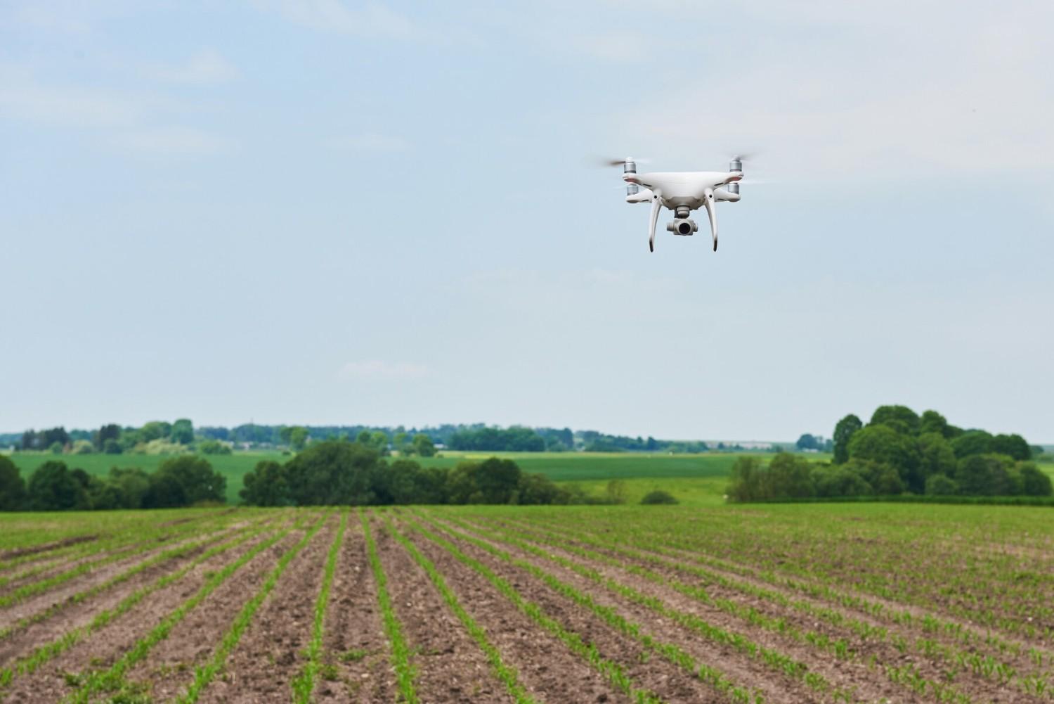
Soil quality is a critical factor in maximizing farm productivity. Our advanced drones, such as the DJI Phantom 4 Pro, offer real-time, accurate assessments of soil health. Precision agriculture techniques help identify issues like nutrient deficiencies, soil degradation, and dead zones, enabling farmers to implement efficient planting and crop management strategies while ensuring worker safety.
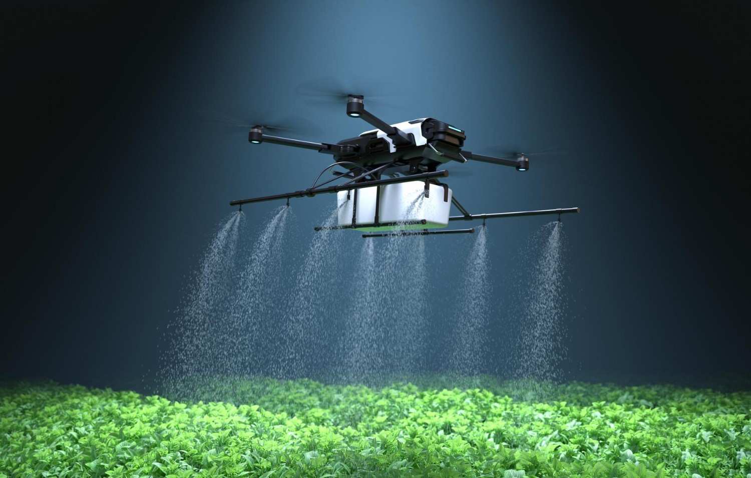
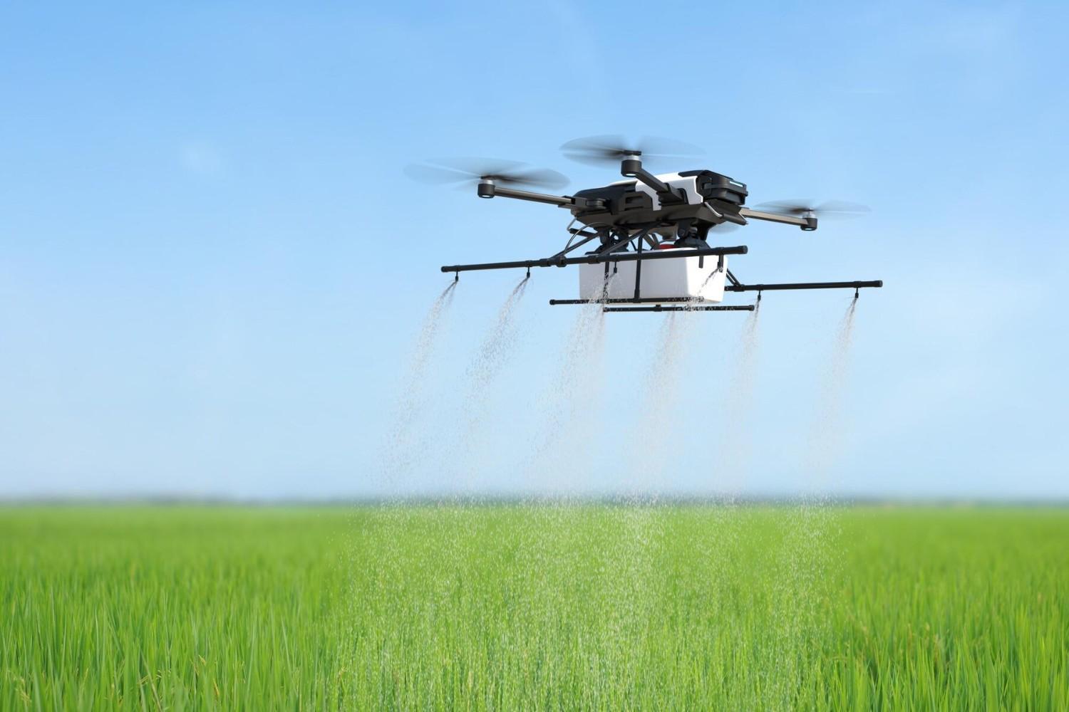
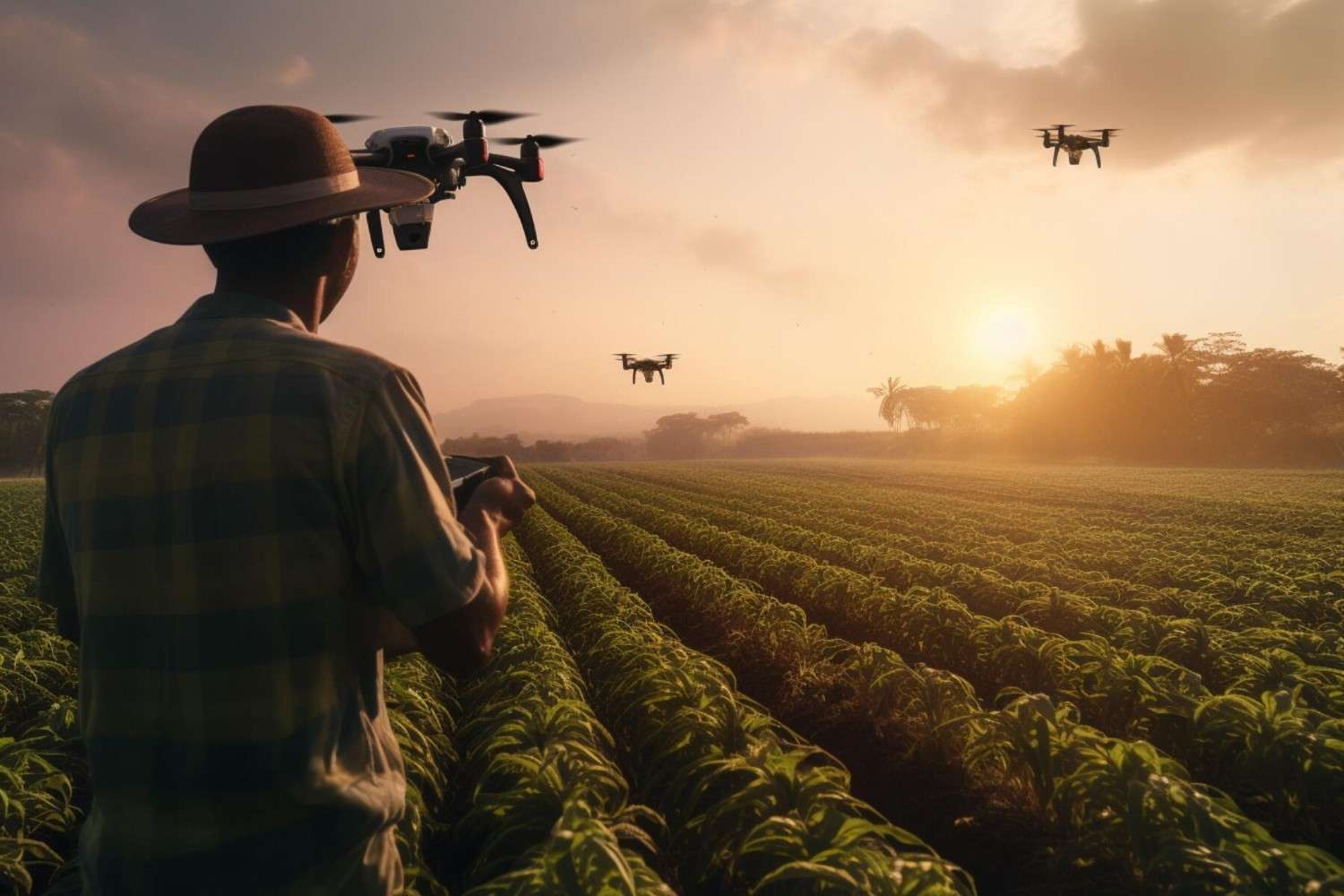
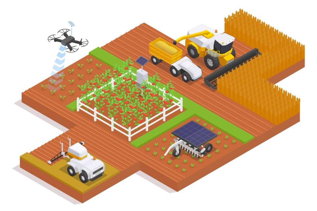
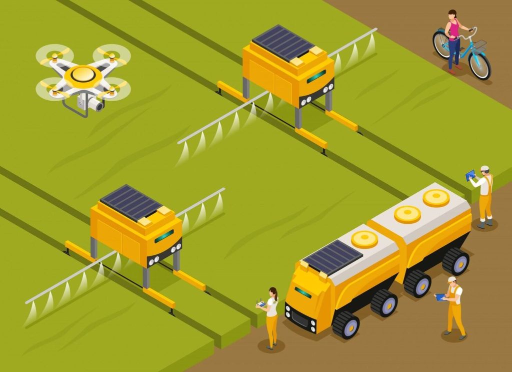
PESTICIDE SPRAYING
Drones equipped with pesticide spraying systems provide a cost-effective, time-saving, and highly efficient alternative to manual spraying. These UAVs ensure precise chemical application, significantly reducing labor costs and minimizing farmers' exposure to harmful chemicals, thus promoting safer and more sustainable farming practices.
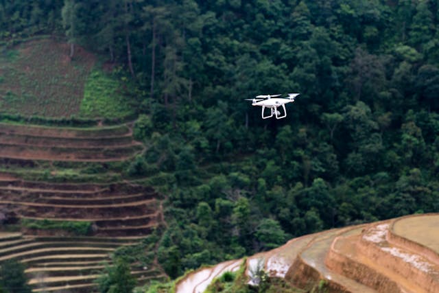
Drone Imagery
Channel MultispectralSensor
Pesticide Spraying